Location: Sitio Maysawa, Brgy. Cuyambay, Tanay, Rizal
Elevation: 591 MASL
Date: September 13, 2017
How To Get There:
📍 From Cubao take a jeep going to Cogeo, alight in Gate 2(landmark is SUPER8 on the left side)
📍 Walk towards the Palengke where the Terminal of jeepneys going to Sampaloc, Tanay is located. Nasa right side yon.☺
📍 Ask the driver to drop you off at Cuyambay, from the junction may mga nag-aabang ng habal going to Brgy. Hall. Have fun!

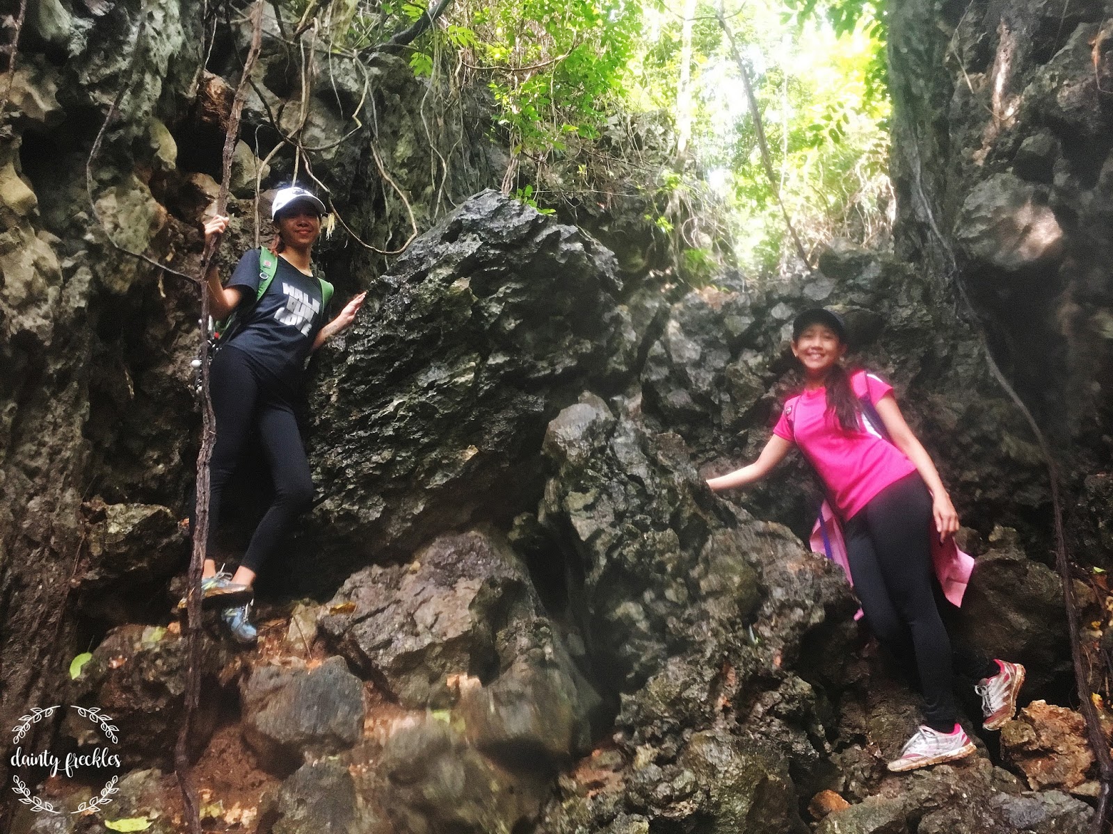
It was a rainy Sunday but me and my friend still pushed this climb in search for the Sea of Clouds. This was actually my friend's first hike that's why we were both stoked despite of the muddy and slippery trail.

I was praying hard inside that we catch the sea of clouds because I don't wanna disappoint my friend on her first hike. :) And God is great! Because after more than an hour of trekking, thick cotton candy clouds welcomed us even before reaching the summit.

I saw the smile of fulfillment on my friend's face and that doubles my happiness! I don't know, but I just felt so happy that she has finally opened her doors to adventure. Because I know the feeling when I first started travelling. Do you guys know the feeling as well? I'm sure you do!


It was one of the most beautiful mornings in my life.💕 I just stand there in owe, admiring God's creation and realizing how much I am blessed to be able to see this kind of beauty.


I've been hiking for almost two years now, yet haven't witnessed the sea of clouds that's why I'm too happy we get to catch it. I'm also happy to see my friend, being speechless of what she's seeing! I have always shared to her how beautiful it is up into the mountains and how it heals the burdens of mankind.


We opted not to hike Mt. Sapari and head directly to Batis Falls as my friend is really looking forward for a falls side trip. We enjoyed the waters so much because there were only few hikers that time and eventually left after taking pictures! :P


Got tired and hungry after the hike and swimming at the falls? Nanay Linda's kubo is the best place to head to. You can mention Nanay Linda to your guide so they can prepare in advance. Native Chicken Tinola is only Php 300, they will actually catch the chicken in front of you! They have rice as well for Php 20.


0330 Meetup mcdo tropical/take jeep to Cogeo

It was a rainy Sunday but me and my friend still pushed this climb in search for the Sea of Clouds. This was actually my friend's first hike that's why we were both stoked despite of the muddy and slippery trail.

I was praying hard inside that we catch the sea of clouds because I don't wanna disappoint my friend on her first hike. :) And God is great! Because after more than an hour of trekking, thick cotton candy clouds welcomed us even before reaching the summit.

I saw the smile of fulfillment on my friend's face and that doubles my happiness! I don't know, but I just felt so happy that she has finally opened her doors to adventure. Because I know the feeling when I first started travelling. Do you guys know the feeling as well? I'm sure you do!


It was one of the most beautiful mornings in my life.💕 I just stand there in owe, admiring God's creation and realizing how much I am blessed to be able to see this kind of beauty.


I've been hiking for almost two years now, yet haven't witnessed the sea of clouds that's why I'm too happy we get to catch it. I'm also happy to see my friend, being speechless of what she's seeing! I have always shared to her how beautiful it is up into the mountains and how it heals the burdens of mankind.


We opted not to hike Mt. Sapari and head directly to Batis Falls as my friend is really looking forward for a falls side trip. We enjoyed the waters so much because there were only few hikers that time and eventually left after taking pictures! :P


Got tired and hungry after the hike and swimming at the falls? Nanay Linda's kubo is the best place to head to. You can mention Nanay Linda to your guide so they can prepare in advance. Native Chicken Tinola is only Php 300, they will actually catch the chicken in front of you! They have rice as well for Php 20.


Here's our sample itinerary for you reference:
4000 ETA Cogeo take jeep to Cuyambay
0500 ETA Cuyambay
0600 Start trek
0800 Summit/Photo Op
0845 Descent
0900 Eta Nanay Linda's House/Rest
1000 Head to Batis falls
1020 ETA Batis
1100 Head back to ate Linda's
1130 Lunch
1200 Power nap
1300 Start Descent/Head back to jumpoff
1400 ETA Jumpoff/wash up
1500 Back to Manila
EXPENSES:
Tropical vv Cogeo P26
Cogeo vv Cuyambay P96
Habal to Brgy. Hall P40/pax
Registration fee P100/pax
Guide Fee P500/2=P250/pax
Habal habal to Maysawa P60/pax(this includes the guide's fare on habal)
Lunch Native tinola P300/2=P150/pax
Rice P20
Shower Fee P40(mejo mahal per timba P20 kaloka)
Total: P752
CONTACT GUIDES:
Kuya Muhammad 09071018668
Kuya Jessie 09293571746
Watch our travel video here: